

Overview
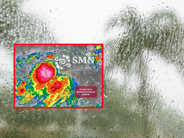
- Juliette was located about 755 km southwest of Cabo San Lucas with sustained winds near 95 km/h and gusts up to 110 km/h, tracking west-northwest around 20 km/h.
- SMN reports seas of 1.5 to 2.5 meters along southern Baja California Sur, with elevated surf also expected on Pacific coasts of Jalisco, Colima, Michoacán, Guerrero, Oaxaca and Chiapas.
- Forecast guidance indicates Juliette could reach Category 1 strength on Tuesday before weakening later in the week, while posing no immediate direct threat to Mexican territory.
- Moisture from Juliette, the Mexican monsoon and tropical waves is enhancing heavy to intense rainfall in states including Jalisco, Sinaloa, Durango, Nayarit, Veracruz, Tabasco, Oaxaca and Chiapas, with flood and landslide risks.
- In the Atlantic, Tropical Storm Fernand was about 2,660 km east-northeast of Quintana Roo, moving north with 65 km/h winds and no expected effects on Mexico; civil protection urges adherence to official advisories and marine warnings.