
Overview
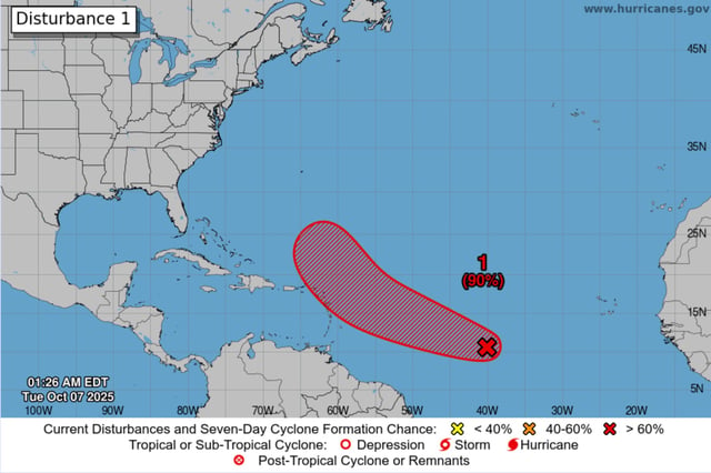
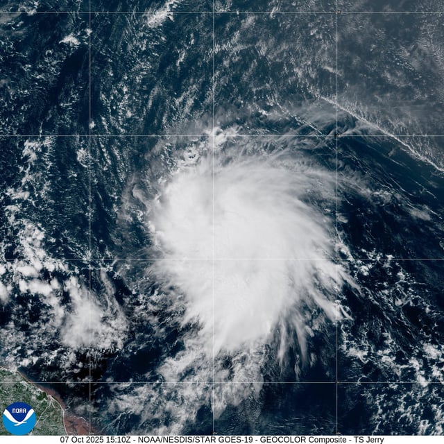
- Tropical Storm Jerry became the season’s 10th named storm Tuesday and at 11 a.m. ET was about 1,315 miles east-southeast of the northern Leeward Islands, moving west near 24 mph with maximum sustained winds of 45 mph.
- National Hurricane Center forecasters expect steady strengthening and say Jerry will likely reach hurricane intensity within a day or two.
- Swells are forecast to reach the Leeward Islands on Thursday, producing life‑threatening surf and dangerous rip currents; no coastal watches or warnings were in effect as of late morning, though watches could be considered.
- Most forecast models show a turn to the west-northwest followed by a recurvature north and then out to sea, but forecasters note uncertainty and have scheduled reconnaissance for Oct. 8 to refine track and intensity.
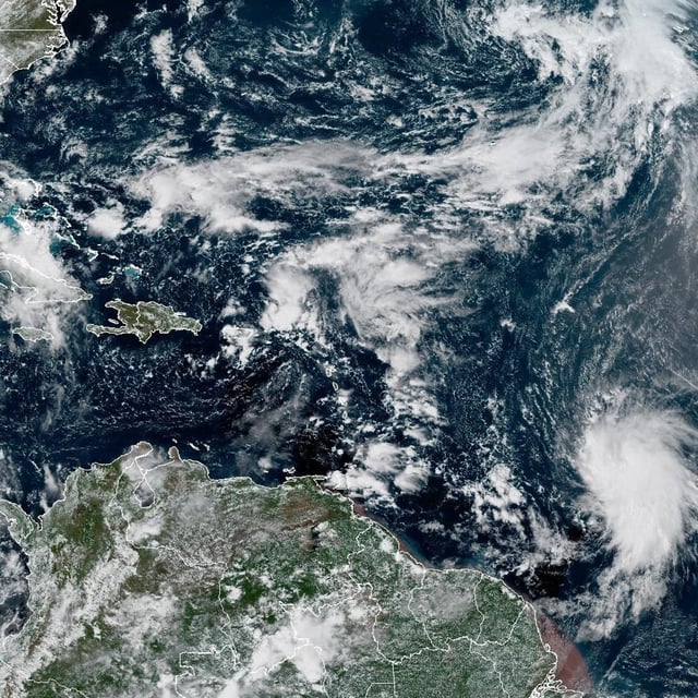
- Separately, a trough near the Yucatán/Bay of Campeche has a low (~10%) chance of development but is expected to bring heavy rain and gusty winds to parts of Belize, the Yucatán Peninsula and southern Mexico this week.