Overview
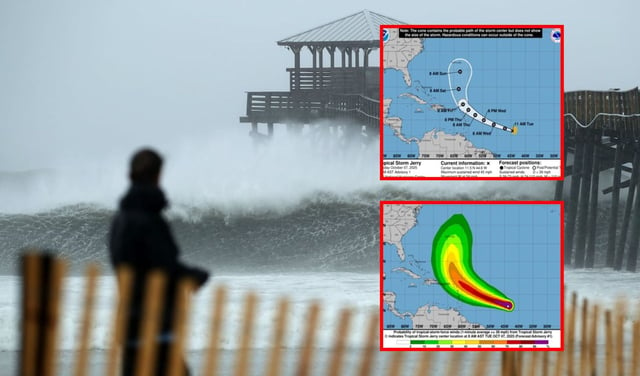
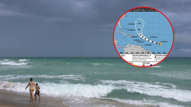
- The National Hurricane Center named Jerry on Oct. 7 with sustained winds near 45 mph, about 1,300 miles east‑southeast of the northern Leeward Islands and moving generally west to west‑northwest.
- Forecasts call for Jerry to become a Category 1 hurricane within roughly 48 hours and track near or just north of the northern Leewards late this week.
- Tropical‑storm watches may be issued for parts of the islands, where periods of rain, stronger winds and hazardous surf are possible depending on the exact track.
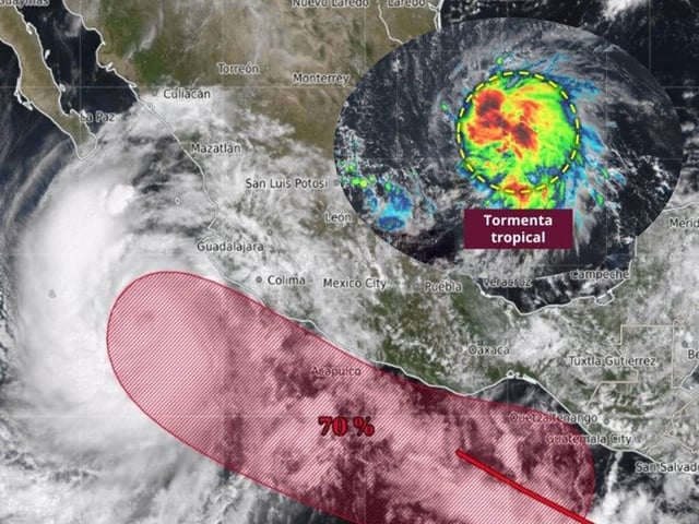
- A cold front along the U.S. East Coast is expected to steer the system away from the mainland, and Mexico’s weather agency says it poses no danger there due to distance and trajectory.
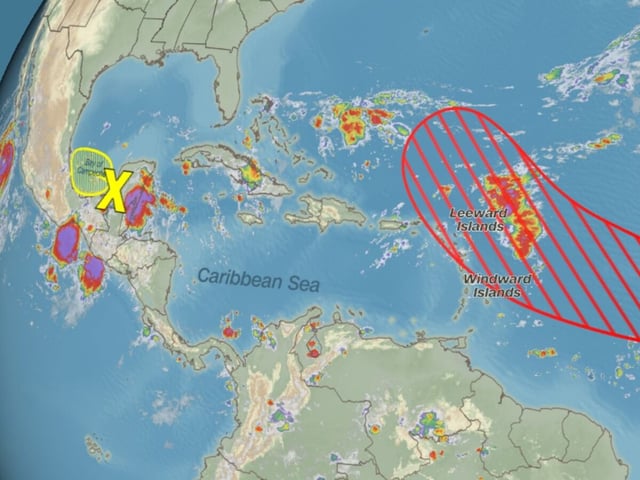
- Jerry developed from Invest 95L, and forecasters are also monitoring a weak Gulf disturbance and a potential mid‑October Central American Gyre that could foster additional storms.