Overview
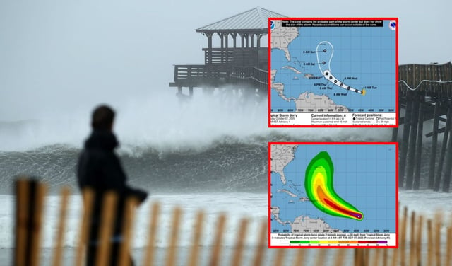
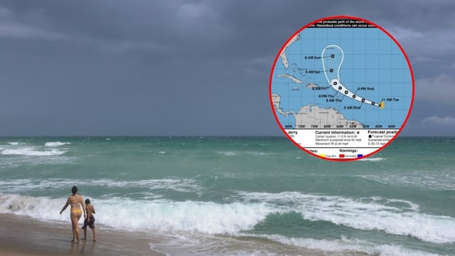
- NHC reports Jerry with sustained winds near 45 mph about 1,300 miles east-southeast of the northern Leeward Islands and moving west.
- Forecast guidance indicates strengthening to a Category 1 hurricane by Wednesday with a track near or just north of the northern Leewards later this week.
- Tropical-storm watches could be issued for parts of the islands as early as Tuesday night depending on the exact track.
- Forecasters say the approaching East Coast cold front should steer the system away from the U.S. mainland.
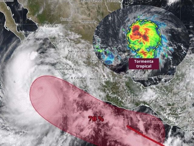
- Mexico’s weather agency says the storm poses no threat to its territory due to distance and trajectory, and Jerry marks the tenth named storm in an active late-season period with the western Caribbean also being monitored for mid-October development.