Overview
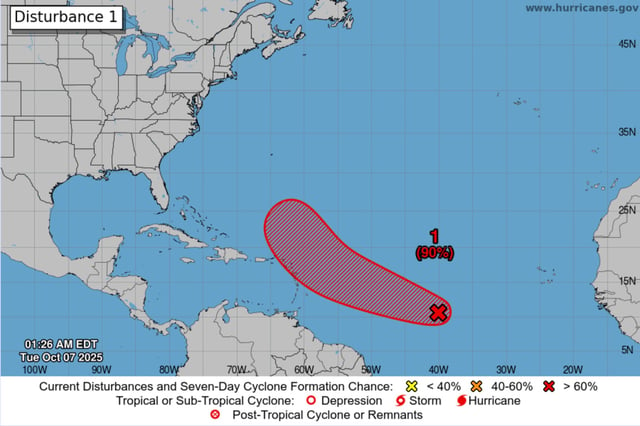
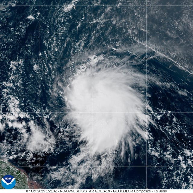
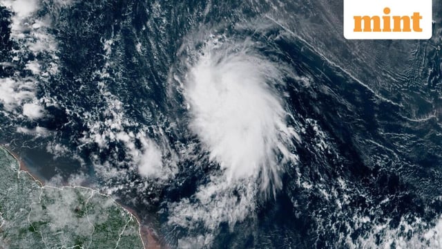
- The National Hurricane Center’s first advisory placed Jerry about 1,315 miles east-southeast of the northern Leeward Islands with 45 mph winds, moving west at 24 mph with no coastal watches or warnings in effect.
- Forecasters expect strengthening in a favorable environment, with the system likely to reach hurricane intensity within 48–72 hours.
- Guidance shows a track near or just north of the northern Leeward Islands late Thursday into Friday, and the NHC warns incoming swells could produce life‑threatening surf and rip currents, with tropical storm watches possible.
- Most model ensembles indicate a turn north that keeps the center over open water, though rough surf and dangerous rip currents could reach parts of the U.S. East Coast.
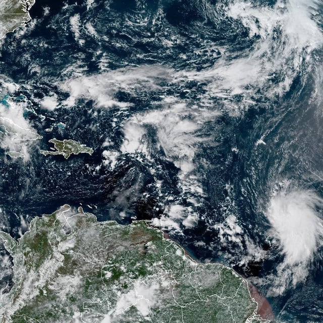
- Reconnaissance aircraft are scheduled to investigate the storm on Wednesday, and a separate trough in the Bay of Campeche has a 10% development chance but is likely to bring heavy rain and gusty winds to the Yucatán, Belize and southern Mexico.