Overview
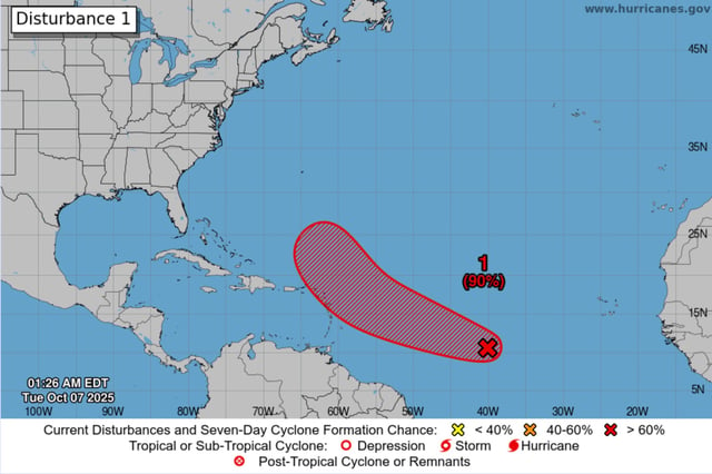
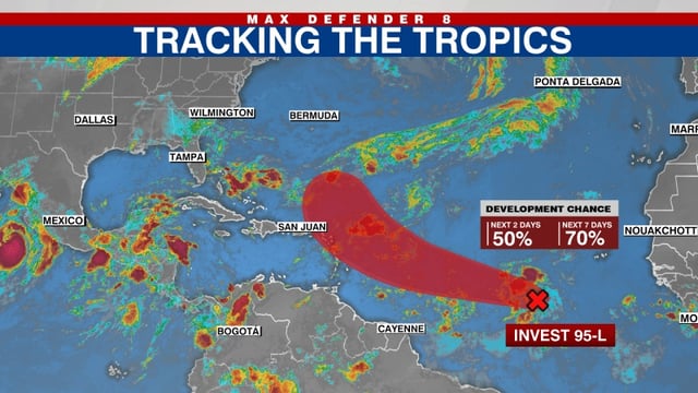
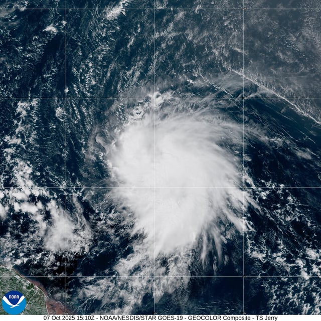
- National Hurricane Center advisories begin for Jerry, which organized quickly from Invest 95L and is moving west-northwest across the central Atlantic.
- Jerry is expected to be near or just north of the northern Leeward Islands Thursday into Friday, and residents there are urged to monitor updates.
- Most forecast models show a recurvature northward into the open Atlantic, lowering the chance of a direct U.S. mainland strike at this time.
- Hurricane Hunter reconnaissance is scheduled for Wednesday, with dry air and upper winds likely to limit rapid strengthening even as some guidance reaches hurricane intensity.
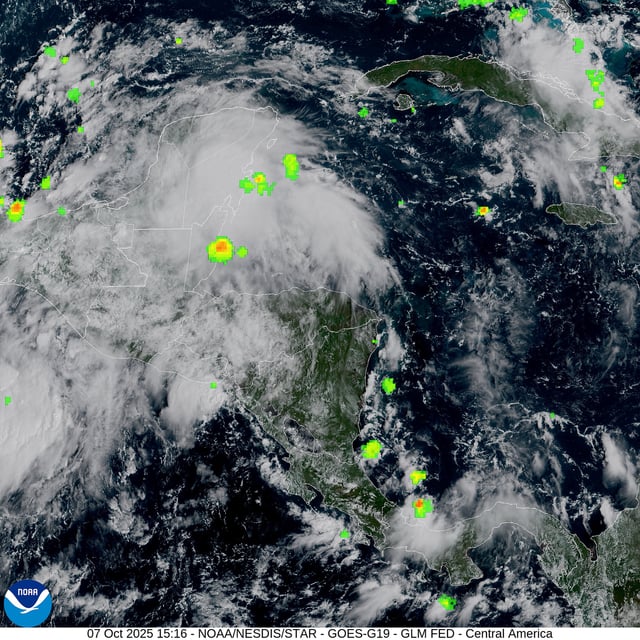
- Separately, a trough near the Yucatán/Bay of Campeche has a low (~10%) development chance but will bring heavy rain and gusty winds to southern Mexico and Belize, and forecasters are tracking a potential non-tropical coastal storm for the U.S. East Coast later this week.