
Overview
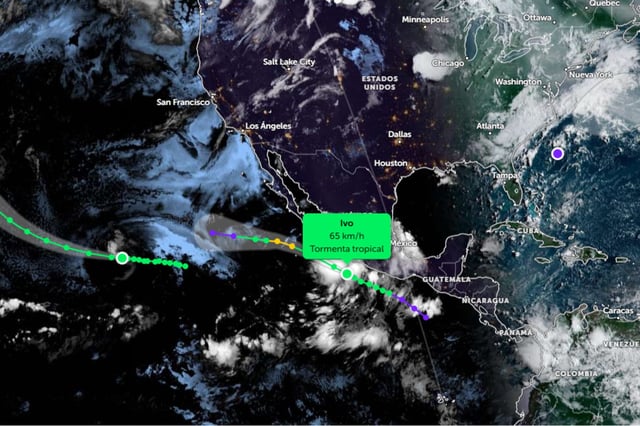
- As of Friday morning, Ivo was moving west-northwest parallel to Mexico’s Pacific coast and is forecast to intensify into a Category 1 hurricane before veering fully westward away from land.
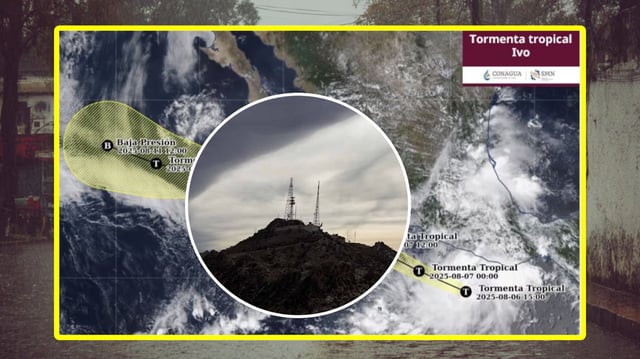
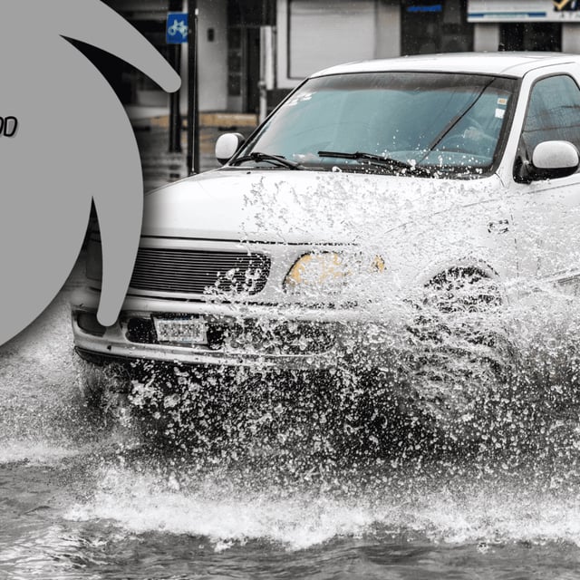
- Its vast rainbands have dropped 75 to 150 millimeters of rain across seven states from Guerrero through Nayarit, raising risks of flooding, landslides, river overflows.
- Coastal waters are experiencing heightened surf with waves up to 5 meters, with warnings of possible marine tornadoes near Guerrero and Oaxaca.
- The Servicio Meteorológico Nacional, Conagua and Protección Civil have issued rainfall, wind and marine warnings while urging residents in flood-prone coastal areas to follow safety protocols.
- Ivo is the ninth named storm of the 2025 Pacific hurricane season, which remains active under neutral ENSO conditions and monsoon moisture that favor further tropical development.