Overview
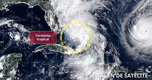
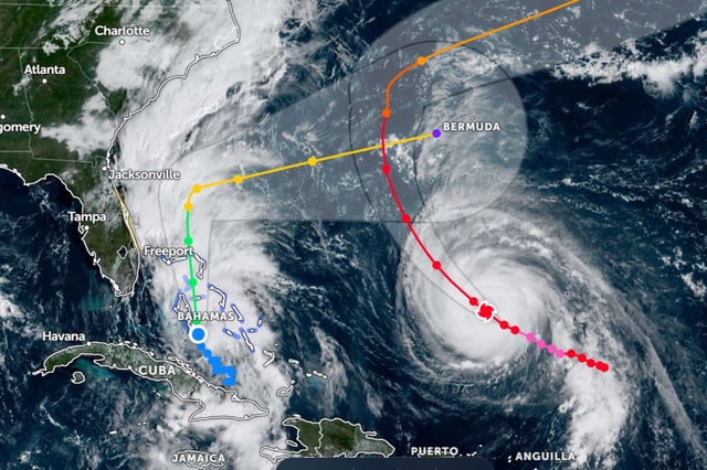
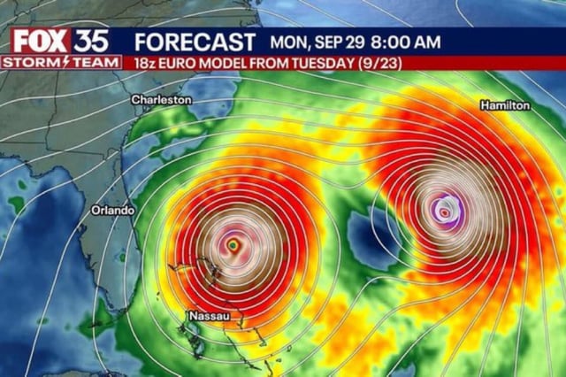
- Tropical Storm Imelda organized Sunday near the Bahamas with 40 mph winds and is forecast to strengthen to a Category 1 hurricane early this week while turning east‑northeast away from the U.S. Southeast, according to the National Hurricane Center.
- The tropical‑storm warning for Florida’s east coast was canceled Sunday night, while warnings remain for parts of the central and northwest Bahamas where 6 to 12 inches of rain could trigger flash flooding and inundation.
- Model guidance over the past day shifted Imelda’s likely path farther offshore, yet coastal impacts from heavy rain, gusty winds, surf and beach erosion remain possible from Florida to the Carolinas, with 1 to 5 inches of rain now forecast along portions of the Carolina coast.
- South Carolina and North Carolina declared states of emergency and coastal communities such as Charleston deployed sandbags and drainage crews, as FEMA said it is ready to support response needs.
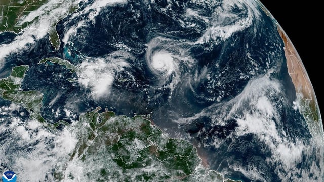
- Hurricane Humberto, a powerful Category 4 in the central Atlantic, is generating large swells toward the Caribbean, Bermuda and the U.S. East Coast; Bermuda issued a tropical‑storm advisory with impacts possible by Tuesday into Wednesday.