Overview
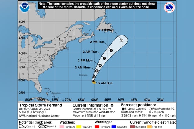
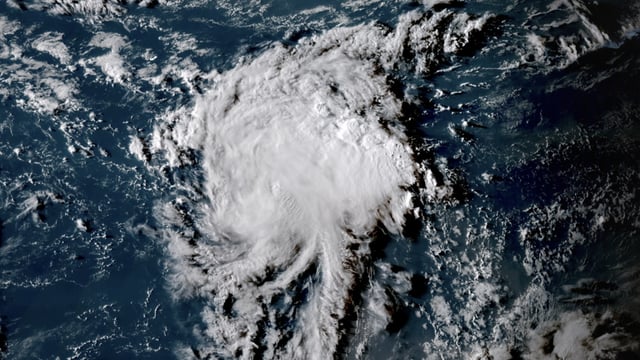
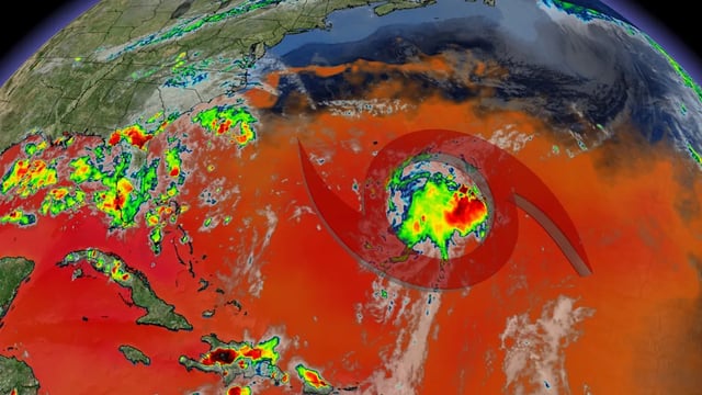
- Tropical Storm Fernand held 50 mph winds late Sunday and was about 320 miles east of Bermuda, moving north‑northeast at 13 mph, according to the National Hurricane Center.
- On its projected path, the storm will track across the open subtropical Atlantic well east and northeast of Bermuda, with no coastal watches or warnings in effect.
- Some strengthening is expected into Monday, potentially near minimal hurricane intensity, before weakening begins Tuesday and a post‑tropical transition around Wednesday.
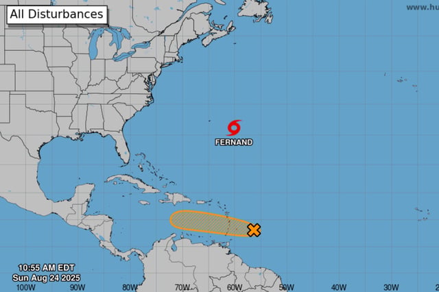
- A separate tropical wave roughly 200 miles east of the Windward Islands has a 40% chance of development as it races west at 20–25 mph, with heavy rain and gusty winds likely across the Windward and Leeward Islands through Monday; reconnaissance flights are planned.
- Former Hurricane Erin has transitioned to a large post‑tropical low that kept hazardous swells and rip currents elevated along parts of the U.S. East Coast this weekend.


