
Overview
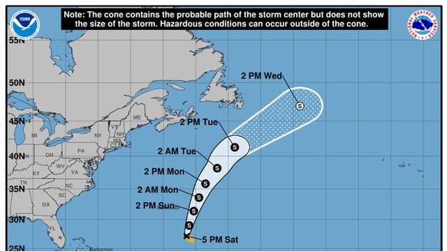
- As of 5 p.m. ET Saturday, Fernand was about 405 miles south-southeast of Bermuda with maximum sustained winds near 40 mph and moving north.
- National Hurricane Center guidance shows a north to north-northeast track that passes well east of Bermuda across the subtropical Atlantic.
- Forecasters expect strengthening through the weekend with the storm possibly nearing hurricane intensity by Monday, then weakening beginning Tuesday.
- Direct wind and rain impacts to the U.S. mainland are not expected, though forecasters caution that rough surf and rip currents could reach some East Coast beaches.
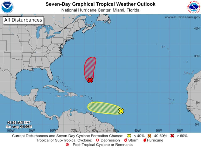
- A separate tropical wave about 850 miles east of the Windward Islands has low odds of development (10% in 48 hours, 20% in 7 days) but may produce locally heavy rain as it moves west.