Overview
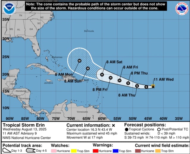
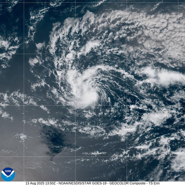
- As of Wednesday morning, Erin was a minimal tropical storm with 45 mph winds about 1,400 miles east of the northern Leeward Islands, moving west at 20 mph.
- The National Hurricane Center projects gradual strengthening beginning Thursday and expects Erin to reach hurricane strength by late Thursday or early Friday, with major (Category 3) status possible by the weekend north of Puerto Rico.
- Most reliable forecast models show a northward turn that would steer Erin away from the U.S. East Coast, though small shifts in the track keep the northern Leeward Islands, Puerto Rico and the Virgin Islands at risk of tropical-storm to hurricane conditions.
- Swells generated by Erin are expected to produce life-threatening surf and rip currents across Caribbean shores and along U.S. East Coast beaches regardless of the storm’s center.
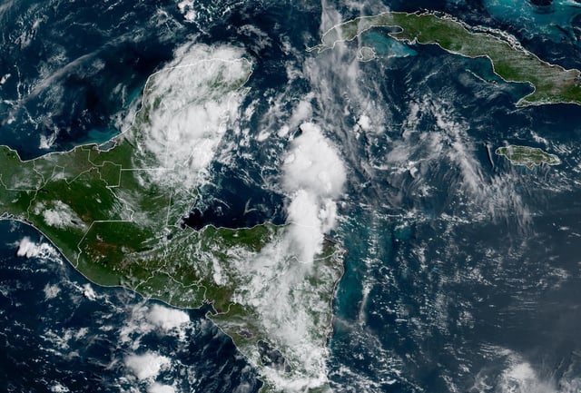
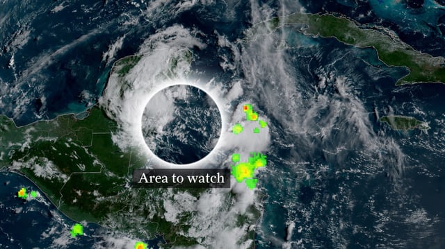
- Erin’s precursor thunderstorms caused deadly flash flooding in Cabo Verde—killing at least eight and prompting a state of emergency—and the NHC is also monitoring two other low-probability disturbances in the northwest Caribbean and Atlantic.


