Overview
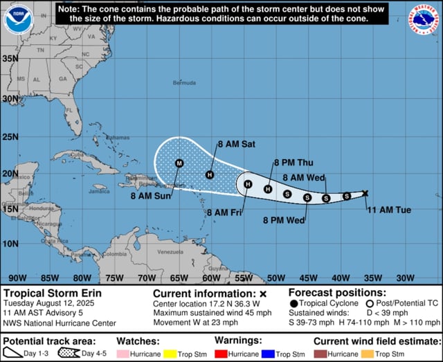
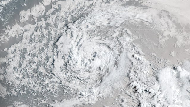
- Erin currently has maximum sustained winds near 45 mph while moving west at about 22–23 mph across the central Atlantic with no coastal watches or warnings in effect.
- The National Hurricane Center forecasts Erin will strengthen into a hurricane by Thursday, August 14, and intensify into a Category 3 storm by Sunday, August 17 as it crosses warm waters with low wind shear.
- Interests in the northern Leeward Islands, Puerto Rico and the U.S. Virgin Islands should monitor forecasts for potential heavy surf, rip currents, rainfall and gusty winds this weekend.
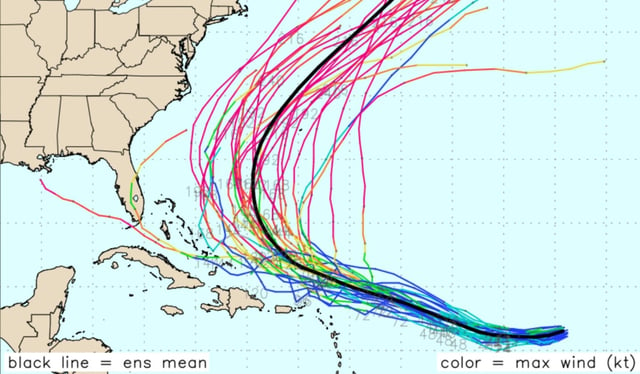
- As a long-track Cape Verde–type system, Erin’s rapid intensification and eventual northward turn hinge on the evolving positions of the Bermuda High and mid-latitude troughs.
- Forecasters are also tracking a surface trough near Louisiana for heavy rain and flash flooding and a subtropical low near Nova Scotia with minimal chances for further development.


