Overview
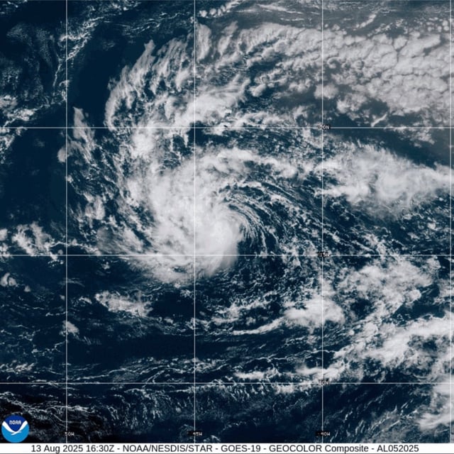
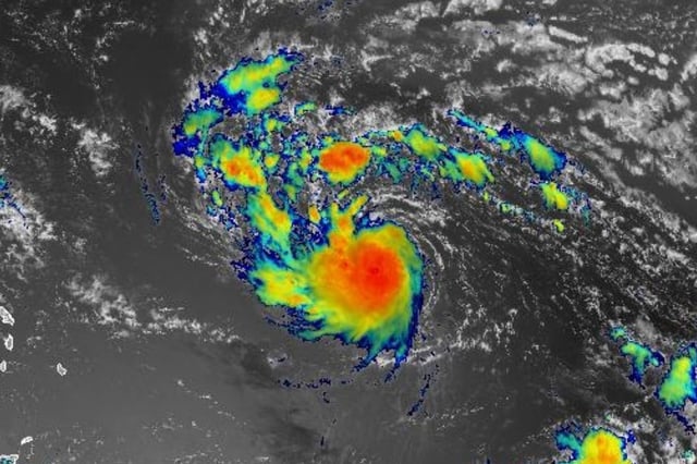
- The National Hurricane Center forecasts Erin will reach hurricane strength by Friday and could intensify into a major hurricane over the weekend.
- Official track guidance places the storm near or just north of the northern Leeward Islands this weekend, prompting tropical storm watches for several islands and Puerto Rico.
- Model consensus has strengthened for a north-northeast turn that would keep Erin offshore of the U.S. East Coast, though long-range uncertainty remains.
- Caribbean officials warn of life-threatening surf, dangerous rip currents and heavy rainfall across the northern Leeward Islands, the U.S. Virgin Islands and Puerto Rico even without a direct hit.
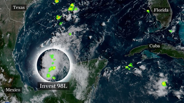
- Hurricane Hunter aircraft are scheduled to investigate Erin on Friday to refine intensity and track forecasts; the NHC has also tasked reconnaissance flights to a low in the Bay of Campeche that is unlikely to develop before moving inland over Mexico or Texas.