Overview
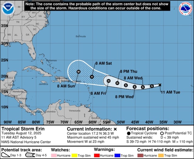
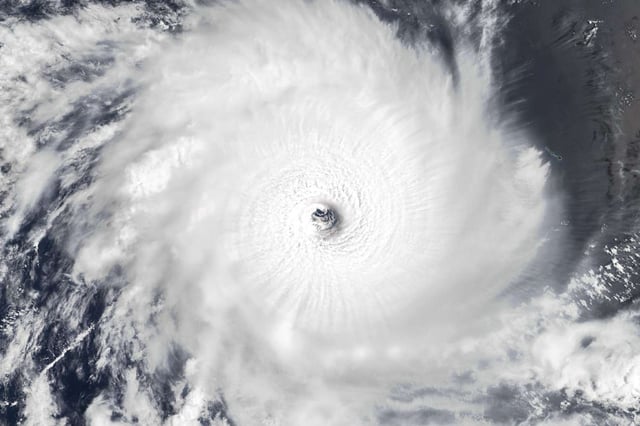
- The National Hurricane Center forecasts Erin will intensify into the season’s first hurricane by Thursday and could reach major-hurricane strength (Category 3) by Sunday as it moves into warmer waters with low wind shear.
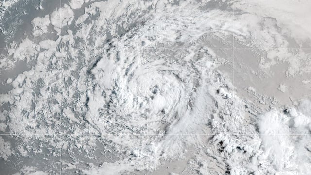
- As of the NHC’s Tuesday morning advisory, Erin was about 1,890 miles east of the northern Leeward Islands, tracking west at 22 mph with sustained winds of 45 mph and tropical-storm-force winds extending 45 miles.
- Most long-range models show an approaching Eastern U.S. trough steering Erin northward away from the United States, though shifts in the trough’s timing, strength and the position of the Bermuda High leave room for track changes.
- Regional forecasters say it is too early to determine what impacts Erin could bring to East Central Florida and that Puerto Rico and the Dominican Republic are unlikely to feel effects before Saturday or Sunday.
- The NHC is also monitoring a surface trough near Louisiana for localized flooding risks and a non-tropical low southeast of Nova Scotia with only a low chance of subtropical development.


