Overview
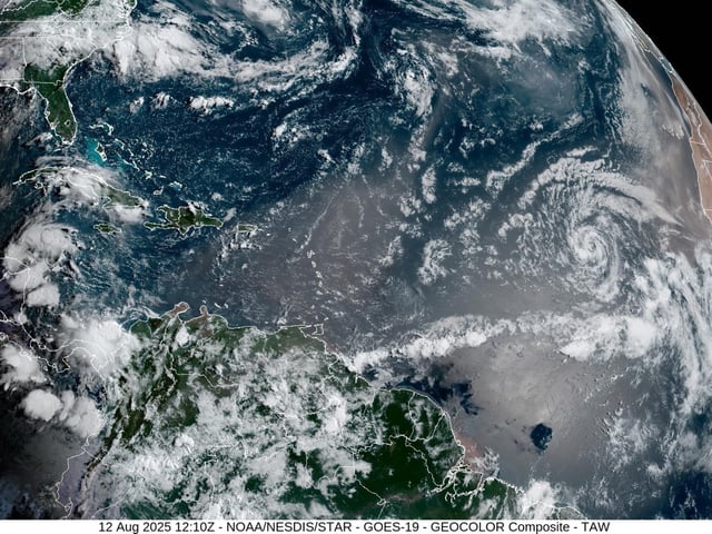
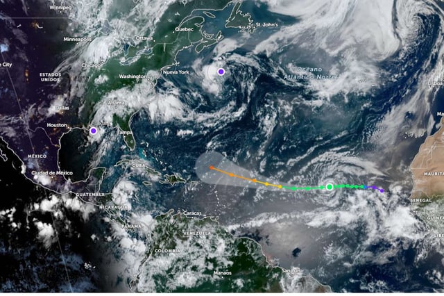
- Erin formed on August 12 in the eastern Atlantic near the Cape Verde Islands and was confirmed by Conagua, SMN and the National Hurricane Center.
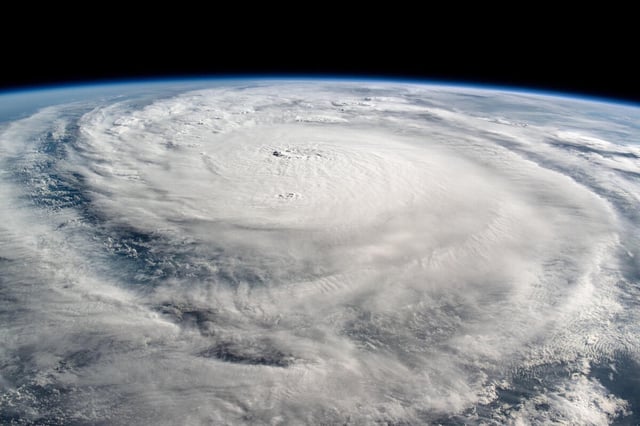
- Forecasts call for rapid intensification, with Erin likely to reach hurricane strength within 48–72 hours and possibly major-hurricane levels by the weekend.
- Model guidance shows a westward track through midweek followed by an uncertain northwest-to-north turn that will dictate risks to Bermuda, the Caribbean and the U.S. East Coast.
- Even over open waters, Erin is expected to produce high surf, dangerous rip currents and a widening tropical-storm-force wind field that threatens maritime and coastal safety.
- Agencies are also monitoring other Atlantic disturbances with low development chances while basin conditions remain favorable for further activity.


