Overview
- The National Hurricane Center projects Erin to strengthen into the season’s first hurricane by Friday and reach major hurricane status over the weekend
- NOAA’s Weather Prediction Center and leading global models indicate an approaching trough will steer Erin away from the U.S. mainland into the open Atlantic
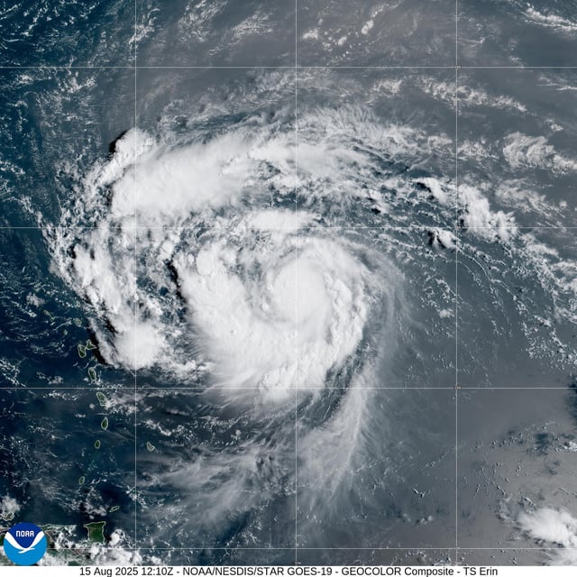
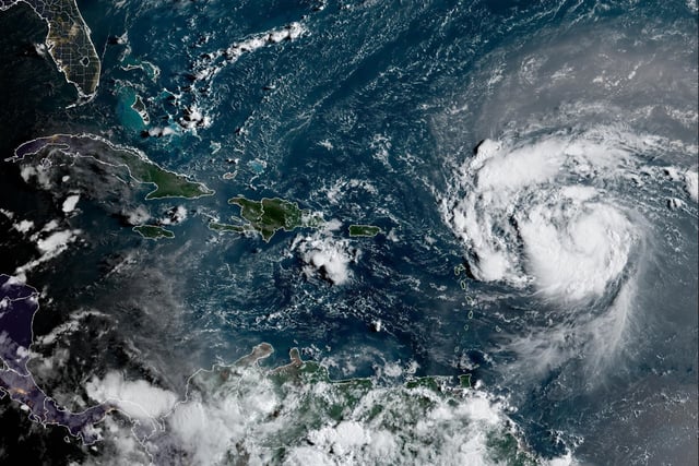
- Tropical storm watches are in effect for parts of Puerto Rico, the U.S. Virgin Islands and the northern Leeward Islands as Erin’s outer bands bring 2 to 6 inches of rain
- Erin has intermittently struggled to establish a compact inner core but is moving into warmer waters and lower wind shear that favor rapid intensification
- Even without a direct hit, the U.S. East Coast can expect large swells and heightened rip-current dangers along beaches next week


