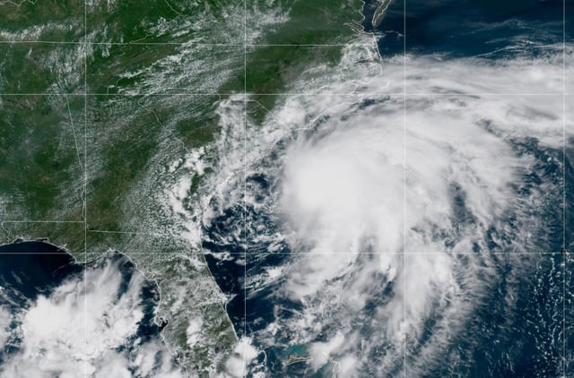


Overview
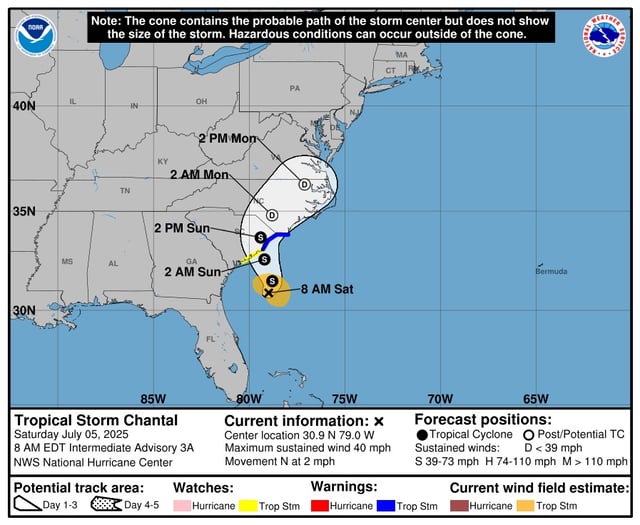
- Chantal struck near Litchfield Beach early Sunday morning with maximum sustained winds of 50 mph before weakening to 40 mph inland near Conway.
- Tropical storm warnings remain in effect from the South Santee River, S.C., to Surf City, N.C., and authorities have warned of flash flooding from persistent heavy rainfall.
- The system is expected to drop 2 to 6 inches of rain across the Carolinas, raising the risk of flash floods and isolated tornadoes in eastern North Carolina.
- Moving north-northeast at about 8 mph, Chantal is forecast to weaken into a tropical depression by Monday as it crosses into North Carolina and continues toward Virginia.
- Life-threatening surf and rip currents persist along the Southeast and Mid-Atlantic coasts, and mariners have been urged to seek safe harbor ahead of hazardous seas.