Overview
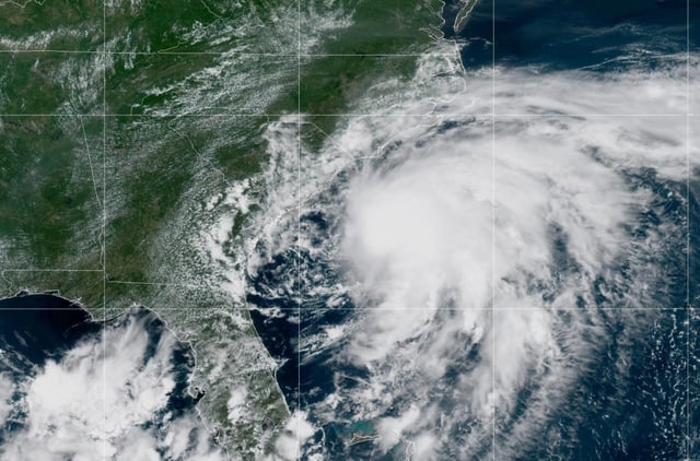
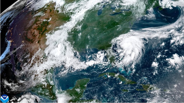
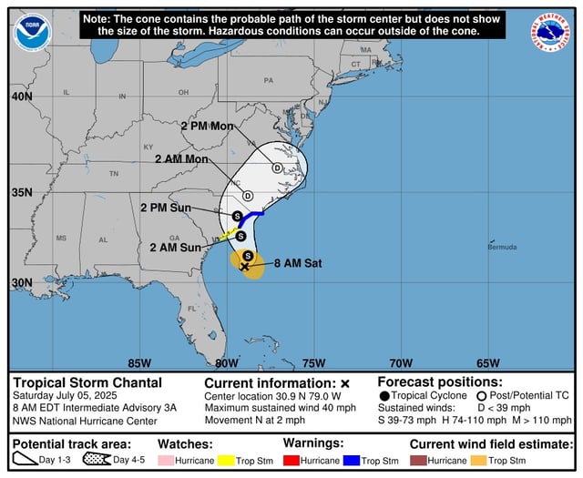
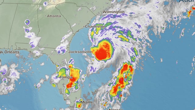
- Chantal became the third named storm of the season early Saturday and was centered about 150 miles south-southeast of Charleston with sustained winds of 40 mph moving north at 2 mph.
- Tropical Storm Warnings span from the South Santee River in South Carolina to Cape Fear in North Carolina, and a Watch covers the coastal stretch down to Edisto Beach.
- Forecasts call for the center of the storm to cross the South Carolina coast Sunday morning before turning northeast and weakening over land.
- Heavy rainfall of 2 to 4 inches, with isolated totals up to 6 inches, is expected to trigger flash flooding in low-lying and poor-drainage areas of the coastal Carolinas.
- Limited time over open water and proximity to land should keep Chantal below hurricane strength before landfall, but coastal areas still face 1 to 3 feet of storm surge and life-threatening surf and rip currents.