Overview
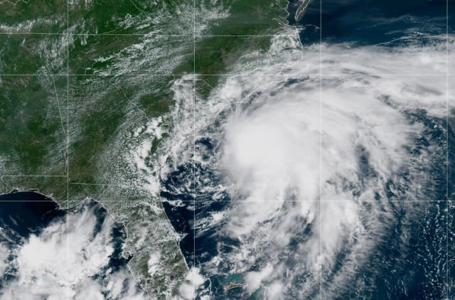
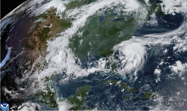
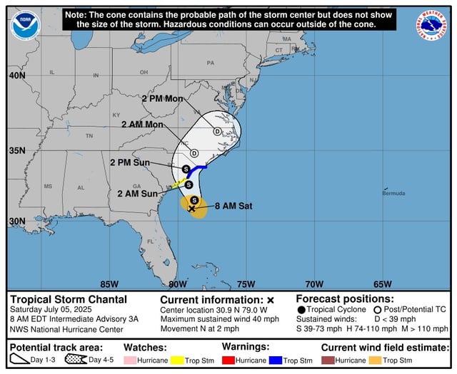
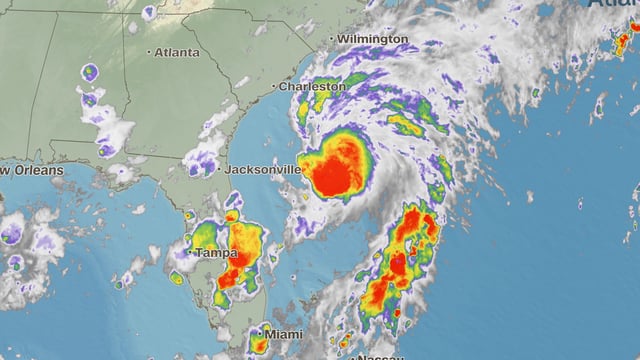
- Tropical Storm Chantal formed Saturday morning about 150 miles south-southeast of Charleston, SC, with 40 mph sustained winds and a slow northward drift.
- The National Hurricane Center has issued tropical storm warnings from the South Santee River, South Carolina, to Cape Fear, North Carolina, and watches from Edisto Beach to the South Santee River.
- Forecasters predict Chantal will strengthen slightly before moving inland over South Carolina Saturday night or early Sunday.
- Chantal is expected to drop 2 to 4 inches of rain, with local amounts up to 6 inches, across the coastal plains of the Carolinas, raising flash flood concerns.
- Residents face storm surge of 1 to 3 feet along the coast and dangerous rip currents, making this the third named storm in an above-normal 2025 Atlantic hurricane season.