Overview
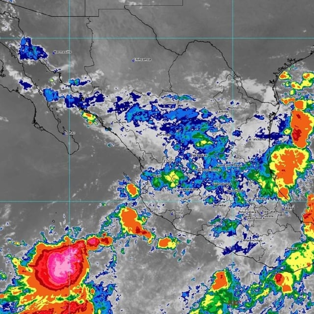
- Tropical Depression Diez‑E was identified about 625 km southwest of Playa Pérula, Jalisco, moving west‑northwest and forecast to strengthen into a tropical storm early Monday while tracking parallel to the coast.
- The SMN projects heavy to intense rainfall, with 75–150 mm possible in parts of Durango, Sinaloa, Nayarit and Jalisco, and 50–75 mm in Sonora, Zacatecas, San Luis Potosí, Aguascalientes, Colima, Michoacán, Guerrero, Oaxaca, Guanajuato, Querétaro, Hidalgo, Estado de México, Puebla, Veracruz and Chiapas.
- Meteorologists attribute the widespread downpours to the depression’s moisture interacting with the Mexican monsoon, tropical waves 24 and 25 and several low‑pressure channels affecting roughly 20 states through midweek.
- Coastal hazards include strong gusts and Pacific surf of 2–3 meters along Jalisco, Colima and Michoacán, with authorities urging precautions for dangerous marine conditions and localized flooding.
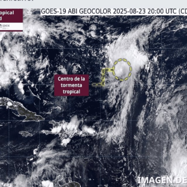
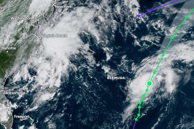
- Separately, Tropical Storm Fernand formed in the central Atlantic about 2,660 km east‑northeast of Quintana Roo, is moving north and poses no threat to Mexico, with a forecast to become subtropical around August 27.


