Overview
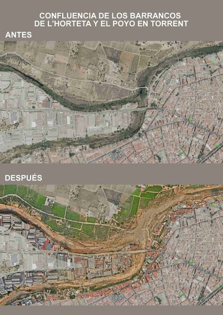
- The Ayuntamiento de Torrent has released detailed LiDAR analyses of the barrancos del Poyo, de l’Horteta, and la cañada de Pequé through a public geo-portal.
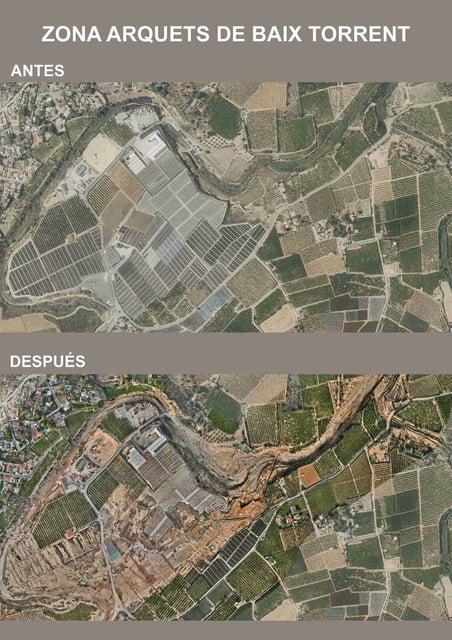
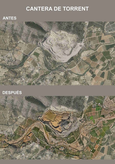
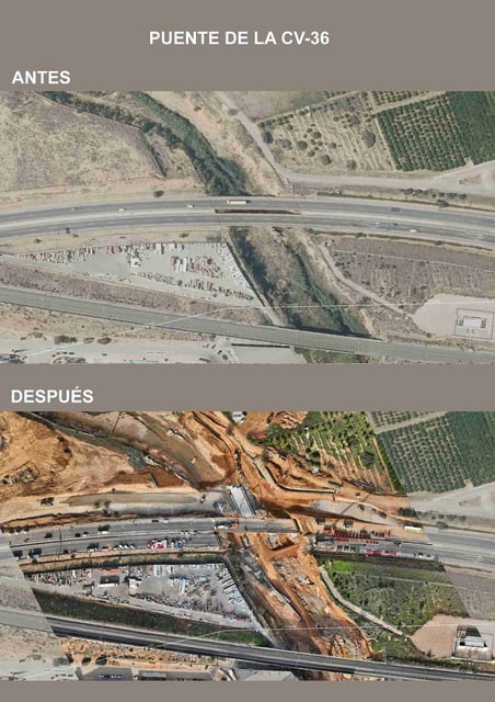
- Drone-based LiDAR technology provides millimeter-accurate mapping of terrain changes caused by the October 2024 DANA storm.
- The municipal geo-viewer is continuously updated, offering transparent access to data for citizens and stakeholders.
- The Generalitat Valenciana has allocated €7.88 million for targeted reconstruction, informed by the LiDAR findings.
- Officials emphasize the need for integrated watershed management to address recurring flood risks in the region.