Overview
- The National Weather Service issued the warning at 11:39 a.m. Thursday for Wayne County, in effect until 12:15 p.m.
- Radar indicated a severe thunderstorm capable of producing a tornado over Damascus, about 12 miles northeast of Honesdale, moving northeast at 35 mph.
- Projected impacts included Callicoon, Hortonville, and Fosterdale around 11:45 a.m., Jeffersonville around 11:50 a.m., and White Sulphur Springs around noon.
- The weather service warned of flying debris and potential damage to mobile homes, roofs, windows, and vehicles, with the storm cluster capable of producing tornadoes and significant wind damage.
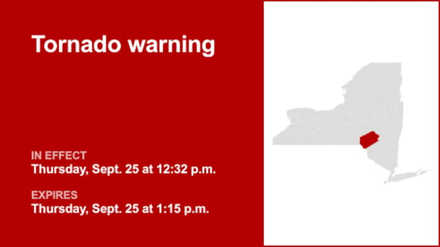
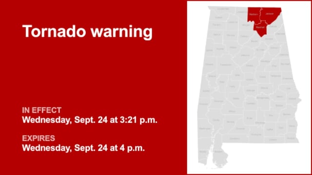
- A tornado warning signals immediate danger and is issued by local forecast offices, whereas a tornado watch from the Storm Prediction Center means conditions are favorable and people should be prepared.