Overview
- New measurements show the fault accumulating 0.2–0.8 millimeters of strain per year along its 600-mile span, indicating renewed seismic activity after 12,000 years of quiescence.
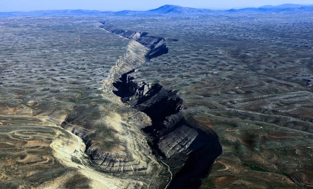
- Topographic imaging from satellites, aircraft and drones revealed an 80-mile segment near Dawson City with landforms offset by up to 3,280 feet dating to the Quaternary Period.
- Researchers warn the accumulated slip deficit could trigger earthquakes exceeding magnitude 7.5, posing a threat to communities and infrastructure.
- Canada’s National Seismic Hazard Model will incorporate the fault as a discrete source, updating seismic hazard maps for northern North America.
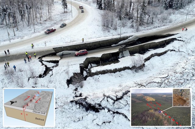
- Regional authorities are reviewing emergency response plans and reinforcing critical infrastructure such as highways, mines and the Trans-Alaska Pipeline.