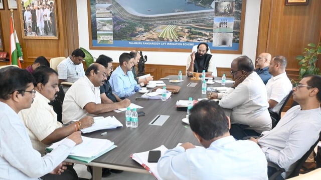
Overview
- Irrigation Minister N. Uttam Kumar Reddy has ordered officials to treat completion of the remaining tunnel stretch as a very high state priority with expedited interdepartmental clearances
- The government granted administrative approval for a Rs. 2.36 crore versatile time-domain electromagnetic survey to be carried out by the National Geophysical Research Institute
- The VTEM operation will use helicopter-mounted sensors to map geological strata up to 1 km below the surface along roughly 9.5 km of the alignment to pinpoint fault lines and unstable shear zones
- The Geological Survey of India is set to conduct an aerial LiDAR survey to produce high-resolution terrain and subsurface data for precise tunnel bypass planning
- Finishing the last 9 km of the 44 km tunnel will restore gravity-fed irrigation for 400,000 acres and potable water to 516 villages while cutting about ₹750 crore in annual pumping costs