Overview
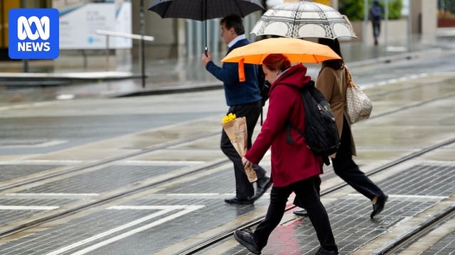
- Weather models show the heaviest rain shifting offshore, with only coastal showers lingering through the weekend and a return to westerly winds bringing clearer, warmer conditions next week.
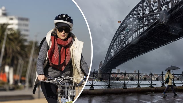
- Sydney suburbs are forecast to reach 23 to 24 degrees Celsius by Tuesday, expected to be the warmest conditions in about three months.
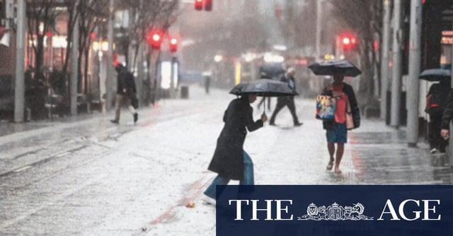
- Port Macquarie logged 148 mm in 24 hours for its heaviest August day on record, while Sydney recorded 82 mm in a day and more than 350 mm for the month, the city’s fourth-highest August total since 1858.
- Other standout August totals include Norah Head at 397 mm (record), Point Perpendicular at 416 mm (wettest since 1998), Port Macquarie at 354 mm (since 1899), Yamba at 306 mm (since 1889) and Nobbys Head at 268 mm (since 1952).
- BoM maintains ENSO is likely to stay neutral until at least January despite NOAA’s La Niña advisory, while seasonal outlooks point to a higher chance of a negative Indian Ocean Dipole and wetter-than-average spring conditions.