
Overview
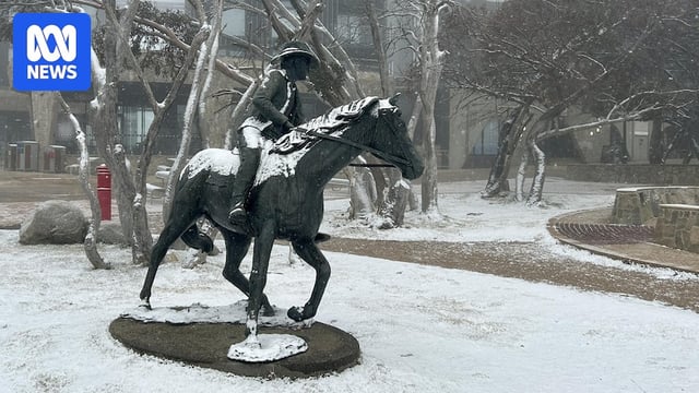
- Starting Saturday, a surge of polar air from sub-Antarctic waters will bring several days of showers, highland snow and well-below-average temperatures to south-east Australia.
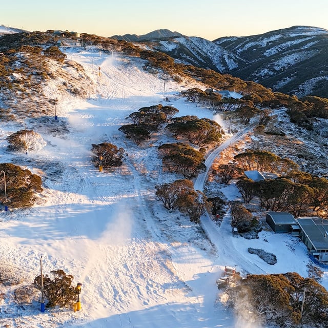
- Major alpine resorts are forecast to receive 40 to 60 centimetres of snow between Saturday and Sunday, marking the country’s broadest snowfall in three years and coinciding with the ski season opening.
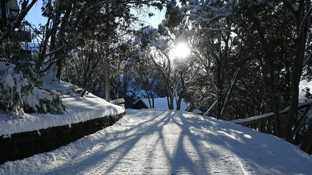
- Non-alpine regions including the Blue Mountains, Oberon and parts of Canberra may see flurries through to Tuesday as snow levels drop to around 800 metres.
- South-west Victoria and southern South Australia are expected to record 25 to 50 millimetres of rain over five days, offering significant relief to drought-affected areas.
- The Bureau of Meteorology has issued severe weather warnings in parts of Victoria with gusts forecast to exceed 100 km/h, raising risks of fallen trees, power outages and icy travel conditions.