
Overview
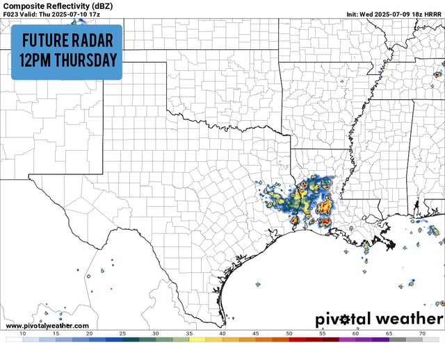
- By Thursday morning, showers and storms had bypassed the Dallas–Fort Worth metroplex and concentrated in southeastern counties around Palestine under a low severe-weather risk.
- Meteorologists caution that gusty winds and localized flash flooding remain possible even as the main storm axis shifts southeast.
- Heavy downpours on Tuesday prompted Dallas Fire-Rescue to conduct water rescues at Mountain Creek Lake and near Shady Trail.
- An upper-level disturbance dropping southward tonight will sustain scattered showers across North Texas.
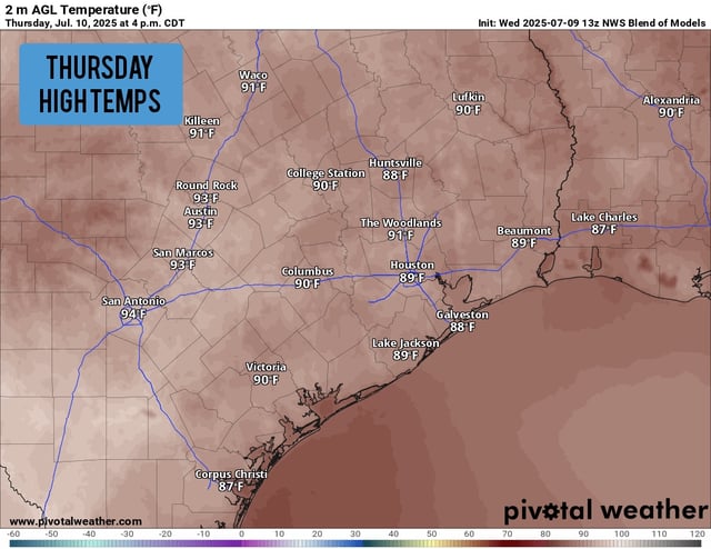
- A strengthening high-pressure system will usher in a warm, mostly rain-free weekend with highs in the mid-90s and heat indices near 100°F.