


Overview
- Authorities confirmed storm‑force gusts, a North Sea storm surge and localized flooding over the weekend, with at least three people injured and widespread transport disruptions.
- BSH reported coastal and Elbe water levels roughly 1.5 to 2.0 meters above mean high water, flooding parts of Hamburg’s waterfront including the Fischmarkt area.
- Ferry services on multiple North Sea routes were curtailed or canceled and the cruise ship Aida Perla remained unable to depart Hamburg during the surge-related restrictions.
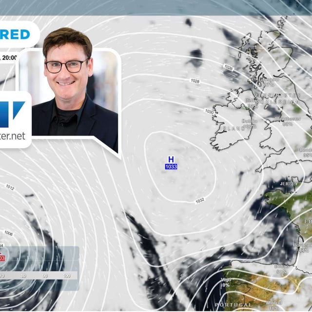
- The DWD expects a gray, wet and windy Monday–Tuesday with regional strong gusts, while persistent precipitation in the Alps turns to snow above about 1,500 meters with 5 to 30 centimeters possible in higher terrain.
- Forecasts indicate improving, milder weather spreading from the west from Wednesday into the weekend, with daytime highs commonly in the mid‑teens to near 20 degrees, and private outlooks continue to signal a probabilistically milder winter.