


Overview
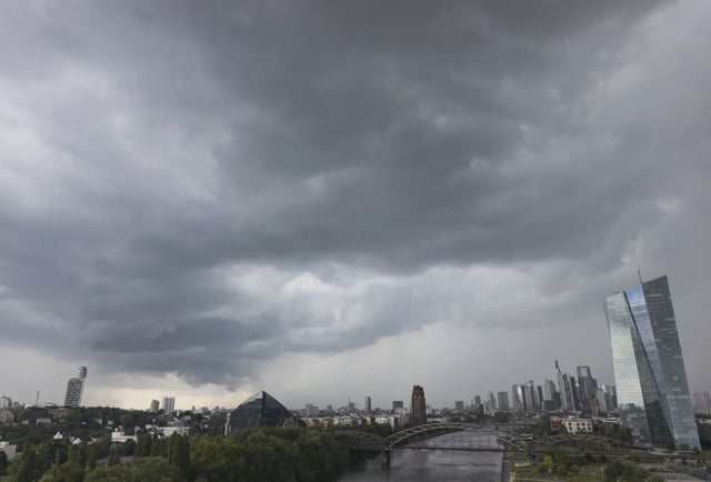
- A quasi-stationary low-pressure system continues to bring showers, thunderstorms and heavy downpours across Germany through August 5.
- The Deutscher Wetterdienst has issued warnings for Bavaria and Berlin-Brandenburg, citing gusts up to 60 km/h and localized flood risks.
- Friday’s storms generated dozens of emergency operations, including roughly 150 calls in Nuremberg and a tree collapse on a Mannheim tram line with no injuries.
- Both ECMWF and GFS models project a shift to a high-pressure regime beginning August 6, initially bringing drier skies and highs of 20–24 °C.
- DWD meteorologists warn that forecast confidence falls off beyond five days and that a prolonged heatwave depends on the uncertain development of a stable Omega-high.