Overview
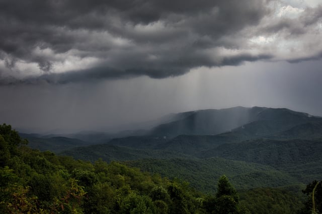
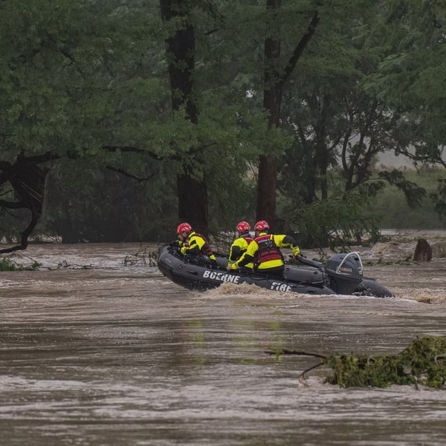
- Flood watches cover Pennsylvania, New Jersey, Delaware, Maryland, Virginia and North Carolina through early Thursday as repeated storms unload heavy rain.
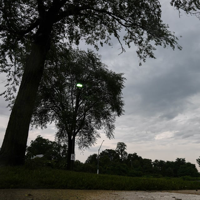
- Severe thunderstorm warnings cover parts of North Carolina, urging residents to seek shelter from damaging winds up to 60 mph and deadly lightning.
- Tornado warnings for Philadelphia suburbs were issued Tuesday based on radar-indicated storms, underscoring persistent tornado risk.
- A stalled cold front and secondary boundary will continue to focus downpours on already saturated soils, raising flash flood concerns in 13 states under a slight risk outlook.
- Infrastructure disruptions have included over 12,000 Peco customers losing power, wind gusts of 68 mph in Pottstown and road closures from downed trees.


