Overview
- Chicago experienced one of its warmest April nights on record, with a low of 77°F at O’Hare International Airport early Tuesday morning.
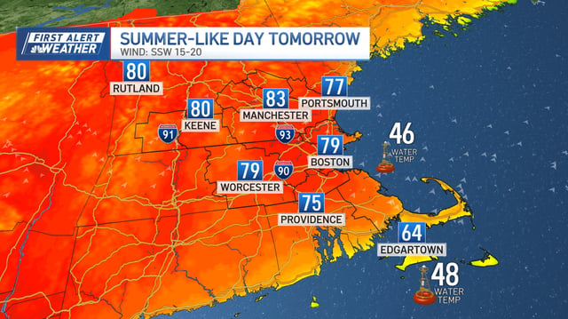
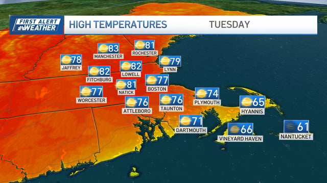
- Temperatures soared into the 80s in Chicago and reached the 70s and low 80s across New England earlier this week, accompanied by gusty southwest winds up to 45 mph in Chicago and 30 mph in New England.
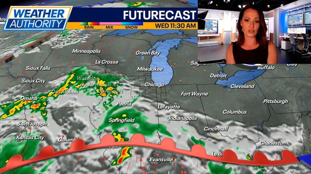
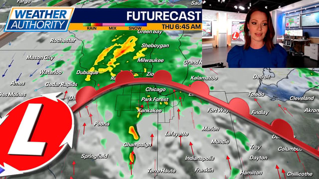
- A cold front has moved through both regions, bringing falling temperatures, increased cloud cover, and scattered showers expected to persist through Friday.
- The Storm Prediction Center issued Marginal and Slight severe weather risks for parts of Chicagoland and isolated severe thunderstorm threats in Vermont, the Berkshires, and northwest Connecticut earlier this week.
- Dry conditions and gusty winds in southern New England prompted elevated fire risk alerts, though cooler, wetter weather is expected to reduce these concerns heading into the weekend.