
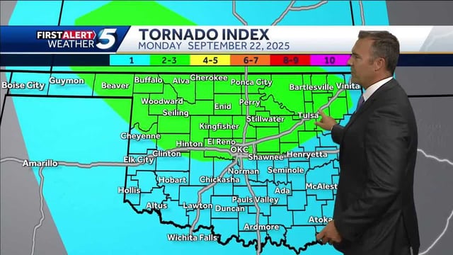
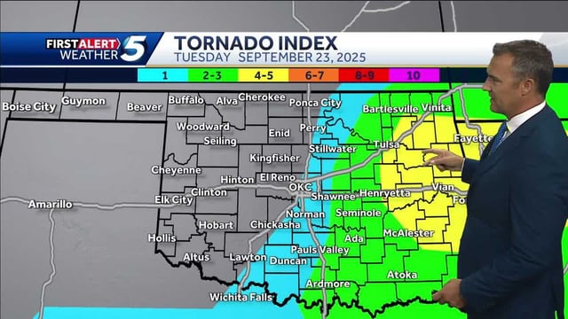
Overview
- Tornado Watch 618, in effect from 3:05 p.m. to 10:00 p.m. CDT, covers eastern Oklahoma into northwest and north‑central Arkansas with threats of a few tornadoes including a couple potentially strong (EF2–EF3), damaging winds to 75 mph, and hail up to 2 inches.
- Severe Thunderstorm Watch 619, active 3:25 p.m. to 10:00 p.m. CDT for southwest Arkansas, central and southern Oklahoma, and North Texas, calls for scattered damaging winds to 75 mph, large hail to 2 inches, and a tornado or two.
- Severe Thunderstorm Watch 620, issued 8:30 p.m. to 1:00 a.m. CDT for southwest and south‑central Arkansas, warns of damaging gusts to 70 mph, isolated hail to 1.5 inches, and a tornado or two as storm clusters move southeast overnight.
- SPC mesoscale discussions note increasing storms near Fort Smith, Arkansas, and across southeastern Oklahoma toward Sherman, Texas, supported by rich moisture, sizable CAPE, and around 30 kt effective shear, with the more favorable tornado setup near a boundary east of Fort Smith.
- Forecasts emphasize multiple overnight rounds and flash‑flood potential from Oklahoma into the Mid‑South, with 3–5 inches of rain possible and Flood Watches topping 5 million people; the current tornado watch footprint includes about 2.4 million residents, 878 schools, and 80 hospitals.