Overview
- The National Hurricane Center is tracking a weak low in the northern Gulf with no development expected and Invest 95L in the central Atlantic with a roughly 60–70% chance of forming within seven days.
- Invest 95L could become a tropical depression by mid to late week as it moves west toward the Leeward Islands, though long‑range track confidence remains low and current guidance leans away from U.S. impacts.
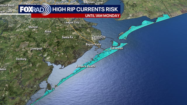
- High rip‑current risk, high surf and small‑craft advisories are in effect along parts of Florida and the Southeast, with coastal flood alerts tied to elevated astronomical tides and recent Atlantic swell.
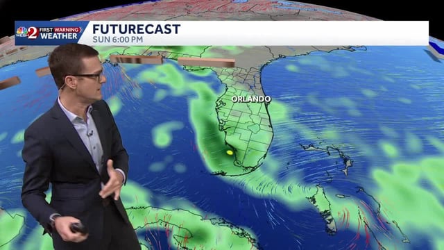
- Onshore‑driven showers are producing localized flooding on Florida’s east coast, where a Flood Watch includes Volusia and Brevard counties, while beach erosion and brief heavy downpours remain possible.
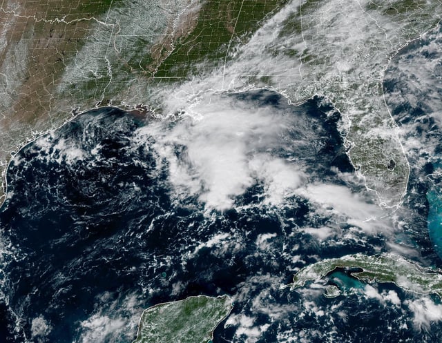
- Along the western Gulf Coast, the weak Gulf low is funneling moisture that brings 1–3 inches of rain to Louisiana, Mississippi and Alabama, with far lower rain chances around Houston but an elevated rip‑current risk.