
Overview
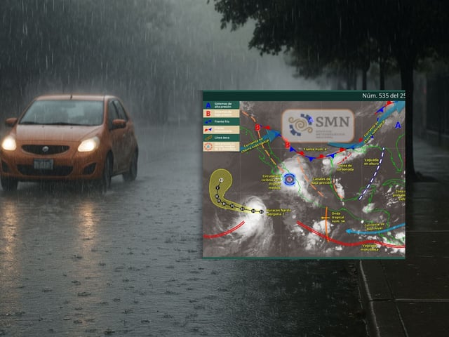
- SMN projects very strong to intense rainfall of 75–150 mm in parts of Sinaloa, Nayarit and southern Chihuahua, with 50–75 mm in several states including Estado de México and Mexico City.
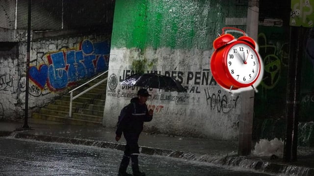
- Mexico City and the State of Mexico could see 50–70 mm of rain, and meteorologist José Martín Cortés says storms may intensify from around 16:00 local time, which could lead Protección Civil to issue a red alert.
- Forecasters warn of lightning, possible hail, urban flooding, landslides and reduced visibility on roads, with guidance to heed local Protección Civil advisories.
- Gusts of 40–60 km/h are expected in areas of Baja California, Baja California Sur, Sonora, Coahuila, Zacatecas and San Luis Potosí, with Pacific waves of 2.0–3.0 m off Baja California Sur, Jalisco, Colima and Michoacán and 1.5–2.5 m off Sinaloa, Nayarit and Guerrero.
- The setup includes the Mexican monsoon, Tropical Wave 34, a stationary Front 4, upper‑level instability and the subtropical jet, with distant hurricanes Narda and Humberto enhancing moisture and swell, while extreme heat persists at 40–45 °C in northeastern Baja California and western Sonora.