Overview
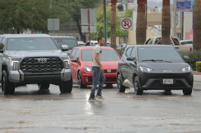
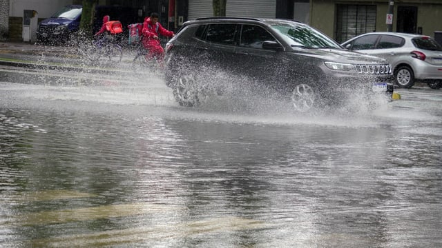
- The weather service expects the event to begin in the Buenos Aires area on Saturday morning with peak intensity from Saturday night into early Sunday.
- Forecasts call for 40–70 mm of rain in a few hours in affected areas, gusts up to about 60 km/h, frequent lightning and possible hail.
- Alerts and impact forecasts focus on La Pampa, Córdoba, Santa Fe, Entre Ríos and Buenos Aires, with some outlets also noting Mendoza and San Luis.
- SMN cites historical records showing storms near August 30 in roughly 57% of years, underscoring the seasonal likelihood of the Santa Rosa window.
- The Buenos Aires Grain Exchange projects precipitation concentrated over the centre‑east of the farm belt with irregular distribution that could unsettle the upcoming spring–summer crop season.