


Overview
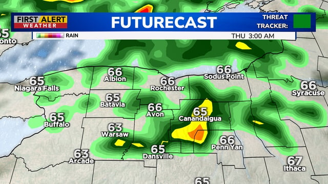
- Showers and thunderstorms expand overnight into Thursday, with the steadiest bursts targeting the morning and evening commutes in several regions.
- Forecasts call for widespread 1–2 inches of rain with locally higher totals, including up to about 4 inches in parts of southern New England, raising a risk of street flooding.
- Some storms could produce damaging wind gusts, with forecasts near Atlanta flagging peaks up to 60 mph and another round possible Thursday afternoon.
- The Bay Area shifts from 90-degree heat to cooler 60s–80s with scattered thunderstorms and uncommon east-to-west moving clouds, while Central California contends with lightning and brief downpours.
- Maine and northern New England expect beneficial soaking rain on Thursday, and forecasters are also tracking two Atlantic disturbances with high development odds that are not a short-term Gulf threat.