Overview
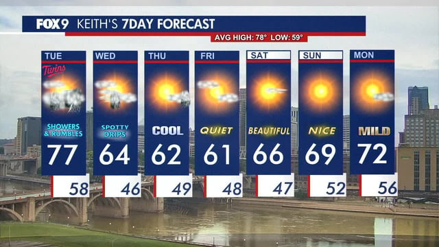
- NWS Duluth forecasts a rapid drop from 70s on Tuesday to lows in the 30s by Wednesday night behind a fast-moving front.
- Wet snowflakes carry about a 25% chance early Thursday or Friday in far northern Lake and Cook counties, with less than a 10% chance of a very localized dusting.
- Precipitation arrives in three rounds and remains mainly rain as a low over Ontario funnels colder air across the Arrowhead.
- Highs on Wednesday are expected in the 50s to low 60s across northern Minnesota, roughly 15 to 25 degrees below early September norms.
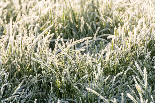
- Temperatures are projected to rebound to above average around September 9–15, though some forecasters note a possible first frost in parts of the northern U.S. this week.

