


Overview
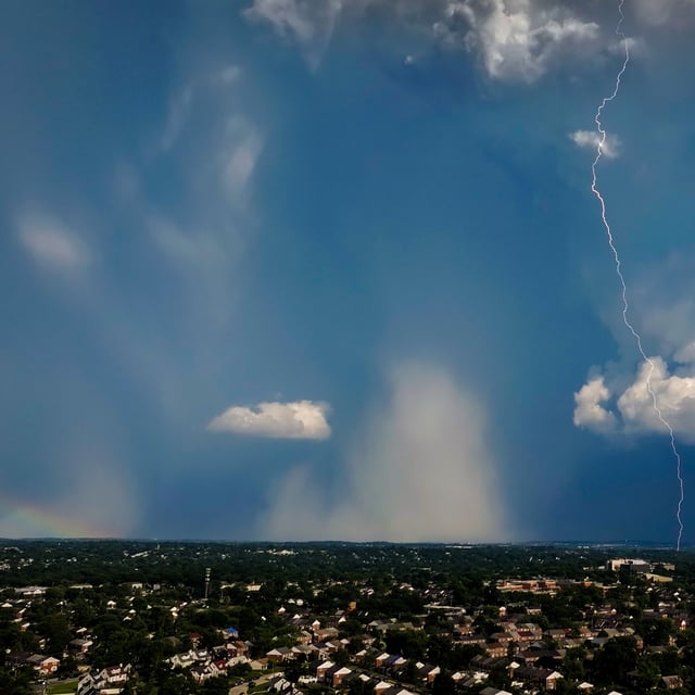
- The National Weather Service lifted all severe storm and flood warnings by Wednesday morning after multiple rounds of heavy rain and thunderstorms.
- Power outages peaked at around 6,000 customers and have since fallen to 188 as Baltimore Gas and Electric crews completed widespread restorations.
- Most transit services have resumed, though Tuesday’s storms flooded the pedestrian tunnel at Aberdeen station and caused temporary disruptions.
- Forecasts call for scattered showers and isolated storms today before clear, sunny weather returns in time for July 4 celebrations.
- Tuesday’s slow-moving frontal boundary triggered a Moderate Risk flash flood outlook from Washington, D.C. to Philadelphia, with up to 3 inches of rain and gusts near 60 mph.