Overview
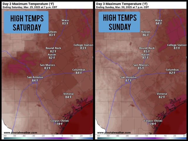
- South Texas is experiencing a warm and humid weekend, with temperatures reaching the mid to upper 80s, about 10 degrees above average for late March.
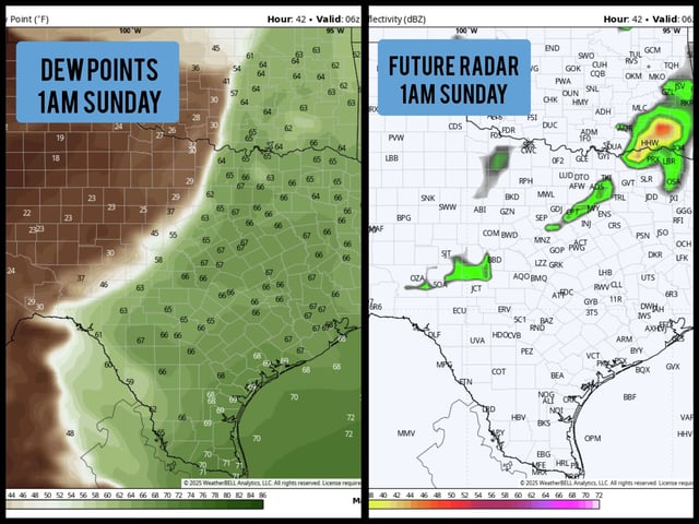
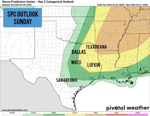
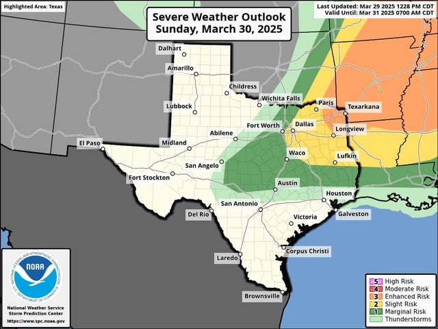
- North and East Texas face a Level 2 to Level 3 risk of severe thunderstorms on Sunday, with potential for large hail, damaging winds, and isolated tornadoes.
- A weak cold front is expected to pass through South Texas on Monday, bringing a slight drop in temperatures, with highs in the low 80s and lows in the upper 50s.
- Southeast Texas, including areas north of Interstate 10, has a lower but notable risk for isolated strong storms on Sunday afternoon and evening.
- A more significant weather system later in the week may bring widespread rainfall to South Texas, though details remain uncertain at this time.