Overview
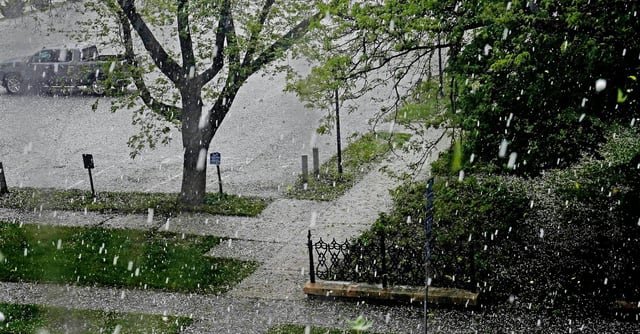
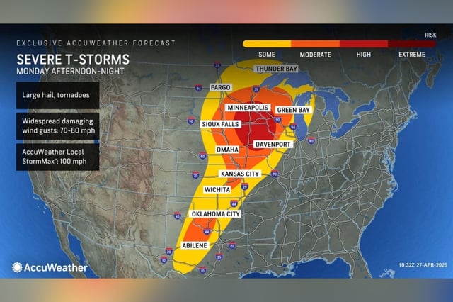
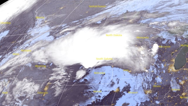
- A two-wave storm system is forecast, with morning storms already underway in central Minnesota and western Iowa, followed by a more dangerous afternoon wave.
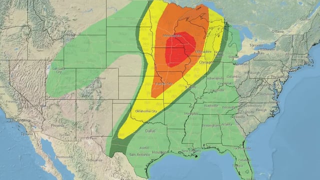
- The second wave of storms is expected to bring supercells capable of producing large hail, damaging winds, and strong to intense tornadoes.
- More than 50 million people are under severe weather alerts, with the highest risk centered on southeastern Minnesota, northeastern Iowa, and southwestern Wisconsin.
- Key infrastructure, including major interstates and airports like Minneapolis–Saint Paul and Des Moines, may face significant disruptions during peak storm activity.
- Local authorities urge residents to finalize shelter plans, secure outdoor items, and ensure access to multiple weather alert systems as conditions evolve.