
Overview
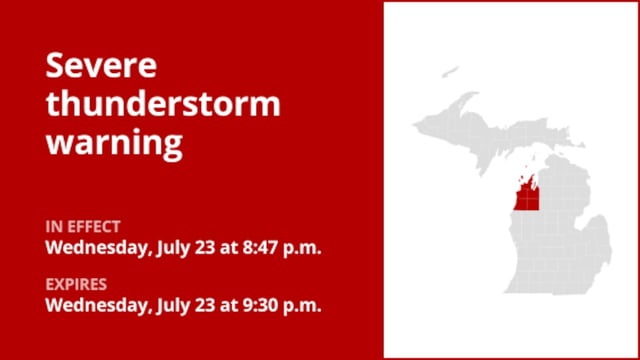
- NOAA has issued a severe thunderstorm watch until 10 p.m. for southwest and south-central Lower Michigan, covering Muskegon, Grand Rapids, Kalamazoo, Battle Creek, Jackson and Lansing.
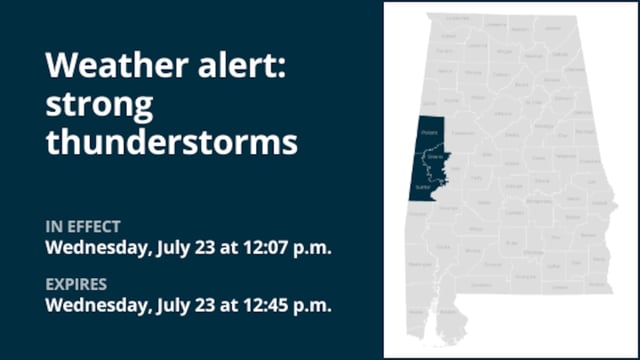
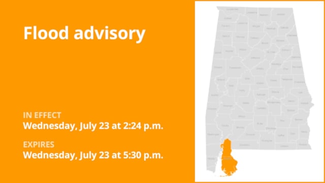
- Earlier warnings in Alabama counties including Mobile, Dale, Geneva, Escambia and Covington have expired or moved eastward after successive evening extensions.
- The National Weather Service forecasts gusts up to 70 mph, pea- to marble-sized hail, torrential rain leading to flash flooding and frequent lightning in the current storm line.
- County-level advisories have guided more than 400,000 residents to seek shelter in interior rooms, steer clear of flooded roadways and stay alert for possible tornado development.
- NWS cautions that atmospheric conditions remain favorable for additional severe thunderstorm warnings or tornado watches through the night.