

Overview
- Severe thunderstorm warnings are active in Union and Colfax counties with a broader watch for northern and eastern New Mexico through the evening, including an isolated tornado risk near Clayton.
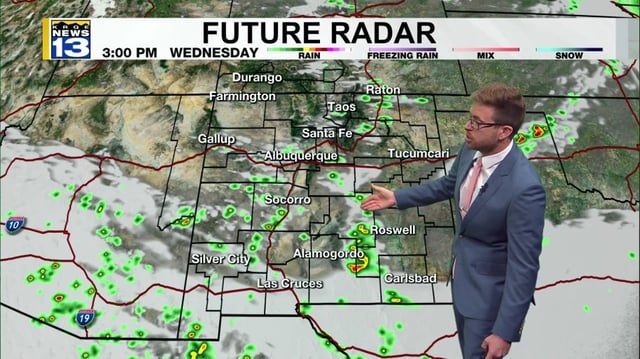
- Cells moving out of southern Colorado are producing heavy rain, frequent lightning and gusty winds, leaving some areas cooler and damp.
- Albuquerque sits on the edge of today's activity with only spotty storms observed, followed by a lower‑impact Thursday focused south and east.
- Friday is expected to be the most active statewide as moisture spreads north, bringing heavier downpours that could reach Albuquerque, northwest New Mexico and the Four Corners.
- Flash flooding and debris flows are a concern Friday in the Hermits Peak–Calf Canyon burn scar near Las Vegas, Raton and Red River, with a drier weekend to follow.