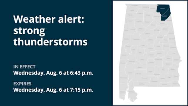
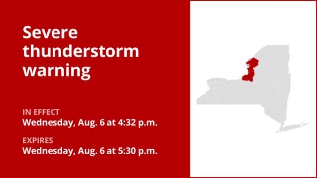
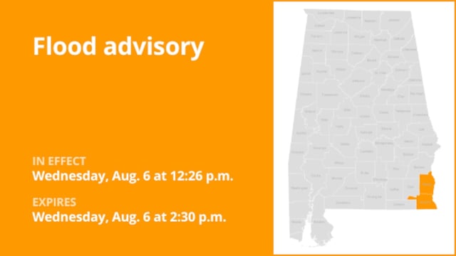
Overview
- Active severe thunderstorm warnings cover parts of Alpena and Huron counties with forecasts of wind gusts up to 60 mph and hail reaching 1.5 inches in diameter.
- Doppler radar has shown storm cells moving east and southeast at 5–15 mph, extending the duration of damaging winds and minor hail impacts.
- Torrential rainfall accompanying these storms has prompted flash flood advisories and warnings against driving through flooded roads.
- Frequent cloud-to-ground lightning poses a hazard up to 10 miles from the storm, and residents are urged to shelter indoors until the threat passes.
- The National Weather Service and services like Advance Local Weather Alerts are issuing real-time updates to guide safety precautions as cells continue to evolve.