
Overview
- The National Weather Service issued a severe thunderstorm warning Friday afternoon for southeastern Colorado Springs, warning of hail up to half-dollar size moving east at 15 mph
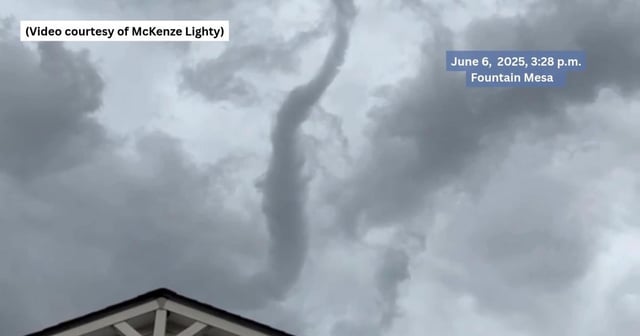
- A tornado watch covering El Paso County and much of the Front Range remains in effect until 9 p.m. as storms continue to threaten the region
- Observers reported pea-sized hail near Academy Boulevard and Pikes Peak Avenue during Friday’s afternoon storms
- North Cheyenne Cañon Park remains closed after heavy rains washed out a significant roadway section, and Gold Camp Road is restricted to local residents
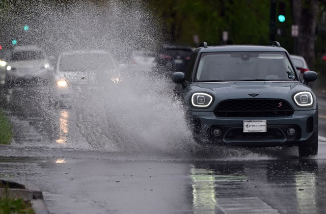
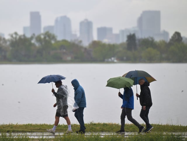
- After a dry Saturday, scattered showers and thunderstorms are forecast to return Sunday and persist each afternoon through next Thursday