Particle.news

Download on the App Store

Severe Storms Batter Western France With Hail and Gale-Force Winds

Orange alerts covered 28 departments as violent storms slashed flights at Orly Airport, triggered hundreds of emergency interventions, ushered in widespread damage, heralded a cooler period.

Une perturbation pluvio-orageuse concernera les régions allant des Pyrénées aux frontières de l’Est.
Météo France a placé 28 départements du sud-ouest et du nord-ouest de la France en vigilance orange à partir du vendredi 13 juin 2025 après-midi. (Photo : un orage le 6 juin dernier dans l’Ain)
Météo en France : le bulletin du 14/06 avec La Chaîne Météo
Météo en France : le bulletin du 13/06 avec La Chaîne Météo

Overview

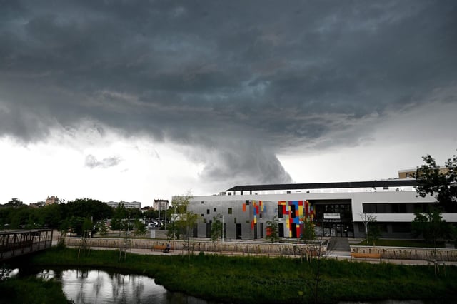
  • Météo France placed 28 departments in southwestern and northwestern France under orange alert for severe thunderstorms beginning the afternoon of June 13.
  • Storm cells crossing Normandy produced hailstones up to 6 cm in diameter and wind gusts reaching 120 km/h, downing trees and damaging roofs.
  • Emergency services in the Orne department logged at least 96 interventions for flooding, fallen trees and power outages by 21:00 on June 13.
  • Paris-Orly Airport cut its flight schedule by 20% between 18:00 and midnight to limit disruptions from the approaching storms.
  • The system is moving northeastward and is expected to clear by June 14, leaving temperatures several degrees below seasonable norms.