

Overview
- Météo-France lifted orange flood alerts in Calvados, Ille-et-Vilaine and Manche on Saturday morning after heavy overnight rain triggered runoff concerns
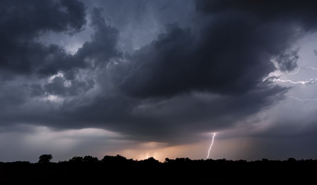
- Six Centre-Est departments—including Rhône, Loire and Isère—remain under orange vigilance for severe thunderstorms with hail, gusts up to 90 km/h and intense lightning
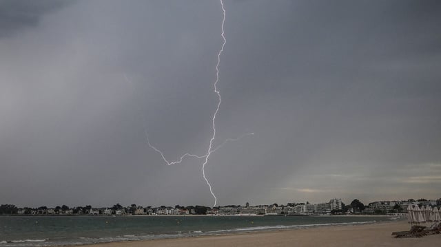
- Friday evening storms over Normandy and the Pays de la Loire marked the transition from a record heat wave that saw temperatures exceed 35 °C in the Lower Rhône Valley
- The advancing depression from the British Isles is forecast to steer the convective system northeast on Sunday, leading to a noticeable temperature drop along the Atlantic coast
- Forecasts indicate near-daily precipitation in Nord and Pas-de-Calais through late July, offering vital drought relief while sustaining localized flood risks