Overview
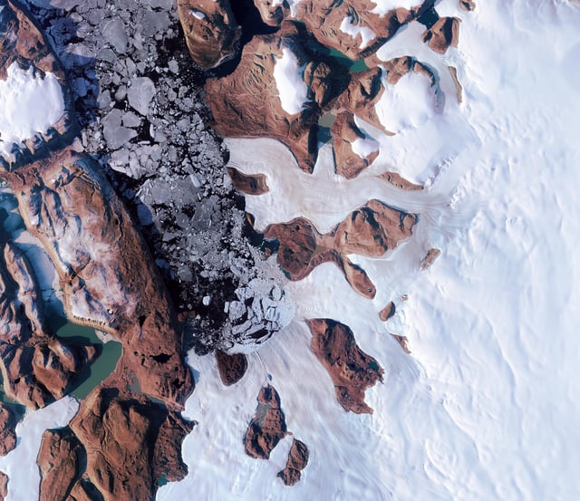
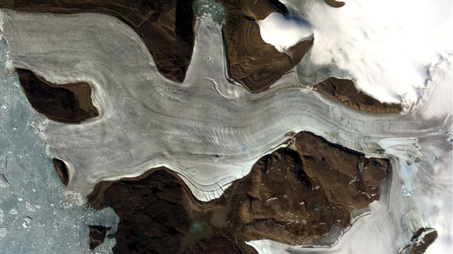
- Published July 30 in Nature Geoscience, the study confirmed that a 2014 subglacial lake outburst in northern Greenland released 90 million cubic meters of water and carved an 85-meter-deep, 2 km² crater on the ice surface.
- Multi-mission satellite imagery and numerical reconstructions revealed that intense water pressure fractured the frozen bed, creating pathways for meltwater to surge upward through the ice sheet.
- Downstream impacts included 385,000 m² of heavily crevassed ice, 25-meter-high ice blocks uprooted from the flow and six km² of water-scoured surface terrain.
- Researchers warn that current numerical models omit these upward-directed flood processes, potentially underestimating the Greenland Ice Sheet’s vulnerability to warming-driven meltwater surges.
- The team urges integration of fracture-driven flood mechanisms into ice-sheet projections and expanded satellite monitoring to detect similar hidden subglacial events.