

Overview
- A cold-core vortex from Eastern Europe is over the Adriatic and shifting toward the Balkans, focusing showers and strong winds on the central and southern Adriatic while the North and many Tyrrhenian areas remain relatively stable.
- Gusts are forecast to peak today near 90–100 km/h in the upper Adriatic, especially around the Gulf of Trieste, with violent bursts along exposed Apennine ridges.
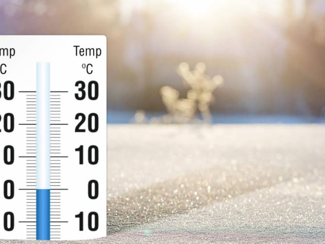
- Temperatures are running 10–12°C below seasonal norms, with lows near 4°C and highs around 13–14°C in the coldest areas.
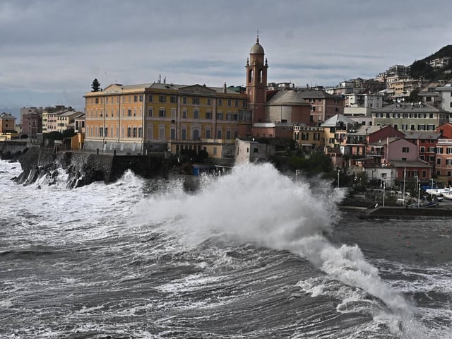
- Civil Protection has issued a yellow alert for eight regions — Calabria, Emilia-Romagna, Abruzzo, Basilicata, Marche, Molise, Puglia and Sicily — citing risks from wind, rough seas and local downpours.
- Rough seas and storm surge threaten the Adriatic, northern Sicily and northeastern Sardinia, with thunderstorms and hail in the North-East and first snow above roughly 1,400–1,600 meters on the Apennines; conditions are expected to moderate from Friday into the weekend as Atlantic air returns.