

Overview
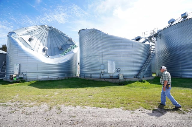
- A Level 4 risk remains active this afternoon for eastern South Dakota and southwest Minnesota as storms consolidate into a potential derecho expected to produce gusts exceeding 80 mph.
- Surrounding areas across the northern Plains and Upper Midwest are under Level 3 and Level 2 alerts for damaging winds, large hail and isolated tornadoes.
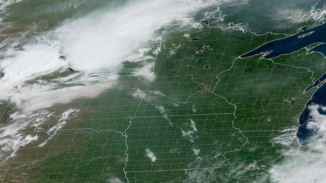
- Afternoon supercells are forecast to merge into a forward-propagating mesoscale convective system, broadening the threat of widespread destructive winds from Minnesota into Wisconsin.
- Saturated soils from weekend rainfall have heightened flash-flood danger, prompting a Level 2 flooding risk alert from the Weather Prediction Center in low-lying and urban areas.
- Derechos typically occur only once or twice each summer across the US, underscoring the rarity and severity of today’s storm threat in the northern Plains.