
Overview
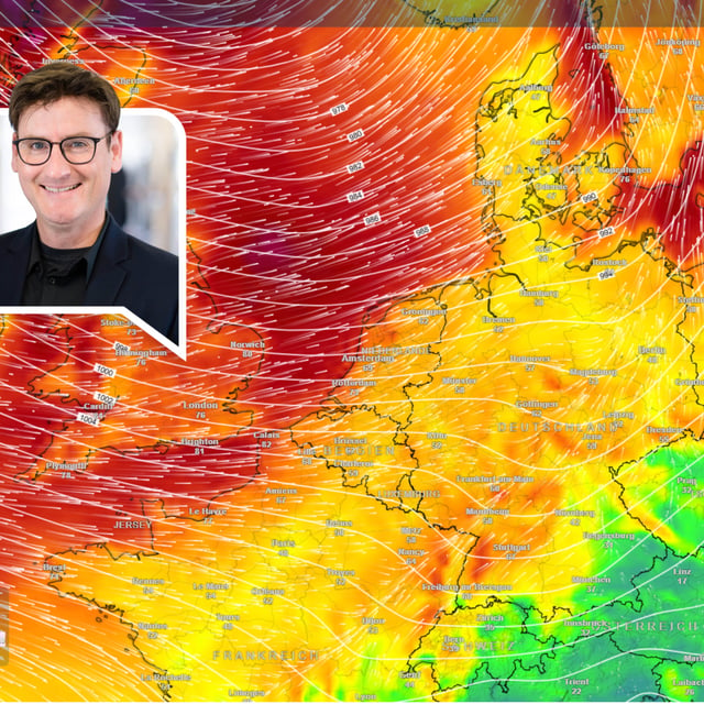
- DWD alerts call for severe gusts on Saturday with peaks around 100 km/h at the North Sea, up to 80 km/h inland, and up to 120 km/h on the Brocken, alongside heavy rain in windward mountain areas.
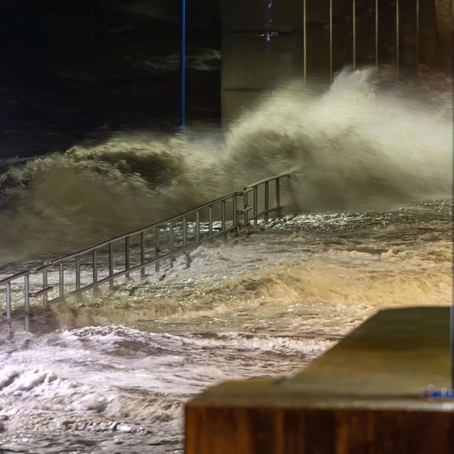
- Lower Saxony’s storm‑tide service (NLWKN) expects one or two light storm surges, with water levels up to roughly 1–1.5 meters above mean high tide late Saturday night and Sunday morning, which could flood beaches and low‑lying harbors.
- Island operators report disruptions: Langeoog warns of Sunday morning ferry cancellations, Spiekeroog’s fast ferry is already suspended, and Norden‑Frisia signals possible changes for Juist; travelers are urged to check schedules.
- First stronger winds reach the islands Friday, a broad rain and wind belt crosses the country Saturday with isolated coastal thunderstorms, and blustery conditions may persist into Sunday even as the rain becomes more showery.
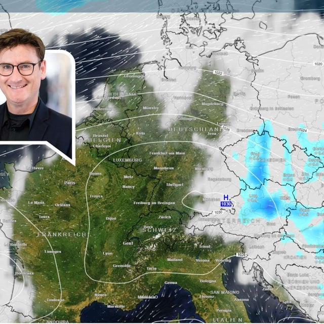
- The post‑storm outlook remains uncertain as models diverge, with some guidance pointing to a brief, milder high‑pressure spell early next week and others keeping Atlantic lows active.